
A taste of Japan along the Thai/Myanmar border.
A melting pot of cultures in one day!
This ride takes you through some of the most incredible roads the north has to offer.
:
Paved and mostly smooth, but some broken up / pothole sections
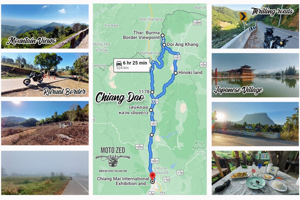
The Ride: GOOGLE MAP ROUTE

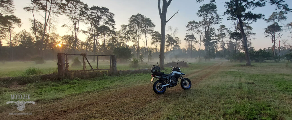
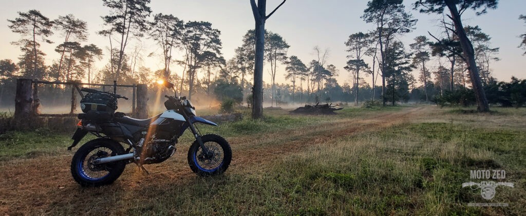
The ride out. I set off north on the R107 in the misty early morning. It was a little on the chilly side (thankfully I had layered up, which included a windbreaker jacket over my motorcycle jacket) and the road was initially fairly clear, so I covered ground quickly. In Inthakhin (a sub-district of Mae Taeng) I noticed some beautiful low lying mist in a woodland park area, so crossed over and entered into the park.A melting pot of cultures in one day!
This ride takes you through some of the most incredible roads the north has to offer.
:
Paved and mostly smooth, but some broken up / pothole sections
The Ride: GOOGLE MAP ROUTE
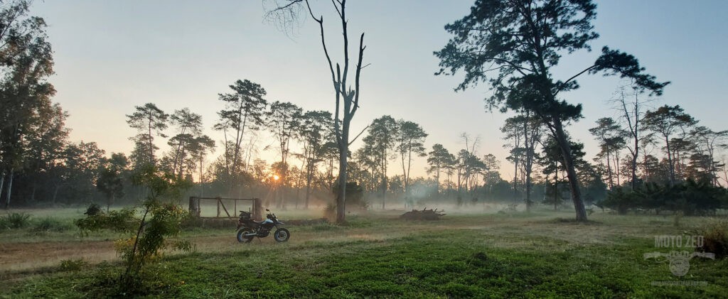
It was so much prettier than my photos show and set a nice mood for the start of my ride.
| 
|
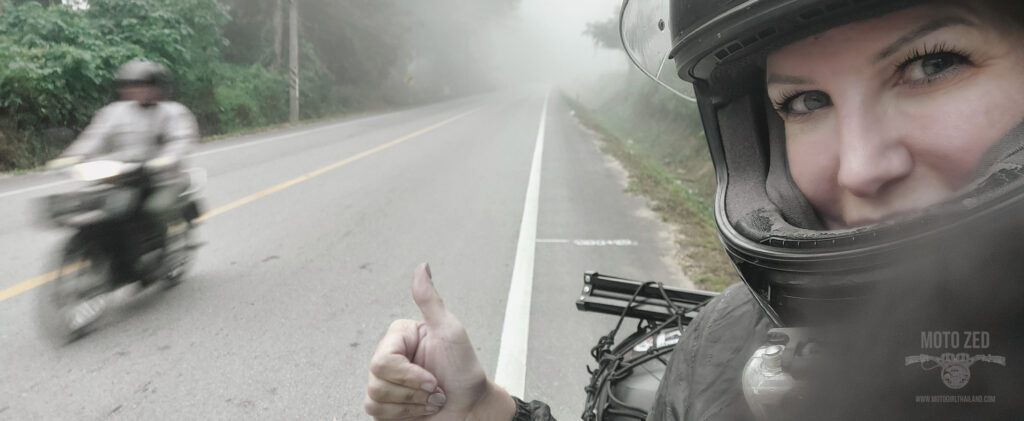
After leaving the park the route became mistier and mistier until there was a wall of fog, which caused me to slow my speed down a fair bit. Traffic emerged out of the fog only at the last minute, and on a few occasions there were vehicles with zero working lights. These things certainly keep you on your toes!
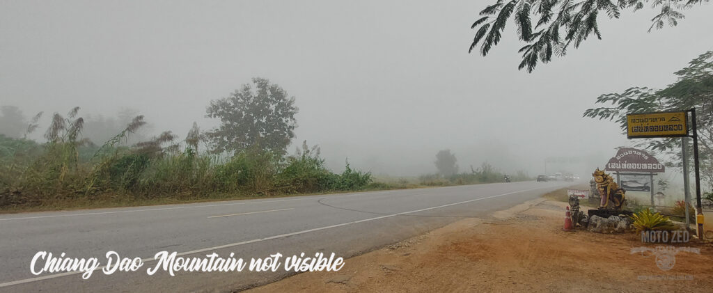
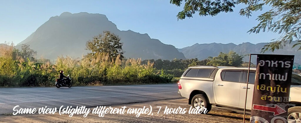
In fact, the fog was so dense that it completely hid Chiang Dao mountain!
| 
|
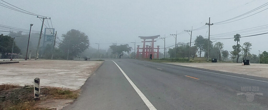
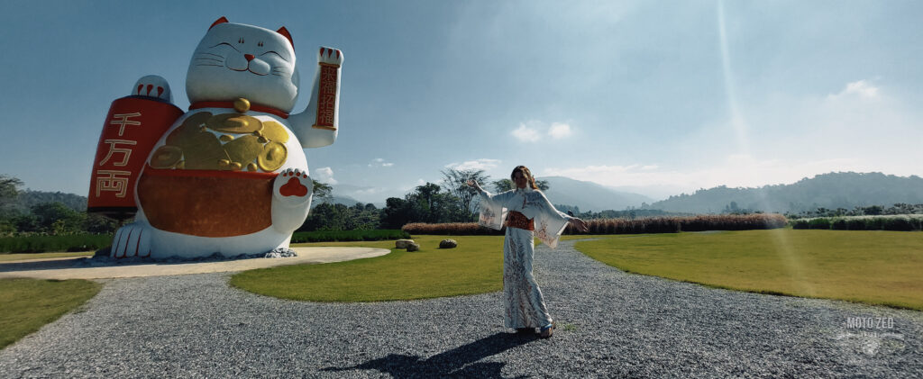
I continued along the R107 until I reached my first destination. The entranceway was easily recognisable despite the fog. Welcome to Japan in Thailand!
Hinoki Land
Opening Hours: 8 am - 5 pm
Entry Price: 80 Baht
Yukata Kimono Hire: 250 Baht
(Various sizes - male and female styles)
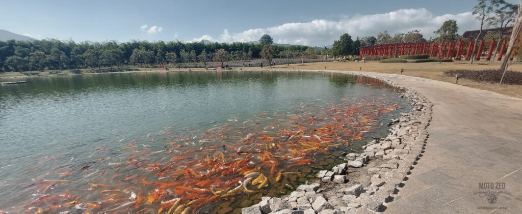
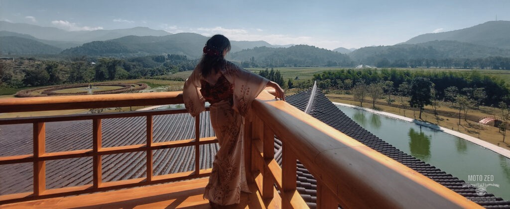
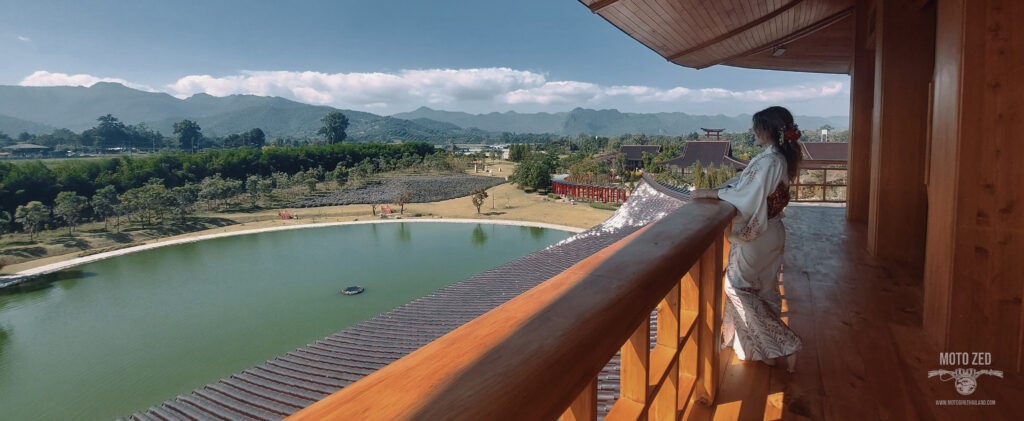
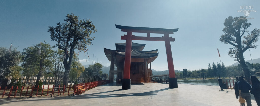
At the entrance you are greeted by a replica of the Kaminarimon arch and once inside the compound there are 88 pairs of Torii Gates which lead you to the majestic 4-story building, made from Hinoki Pine. A small taste of Japan in the northern hills.
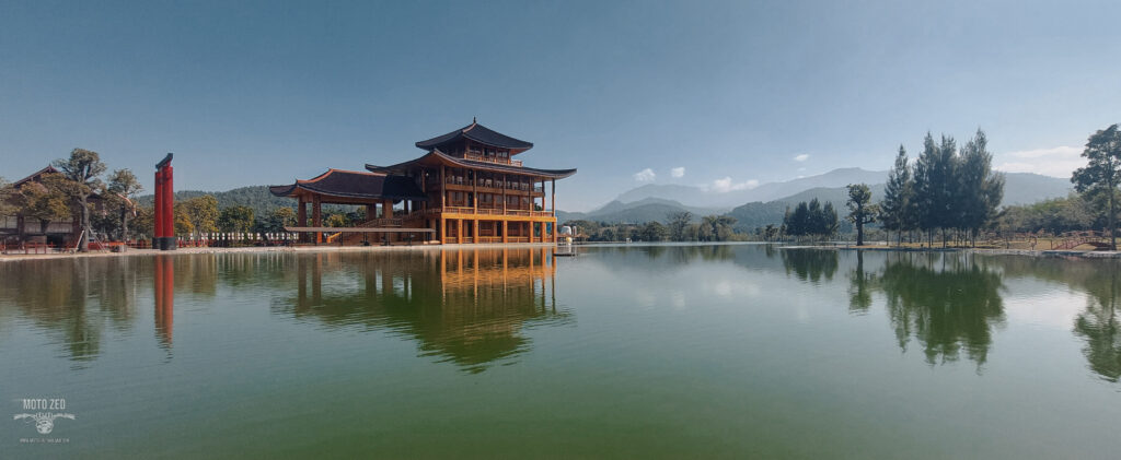
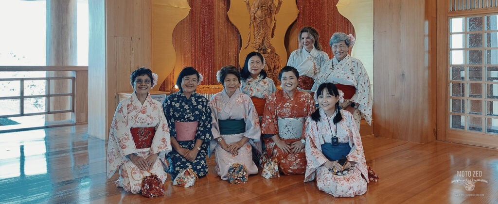
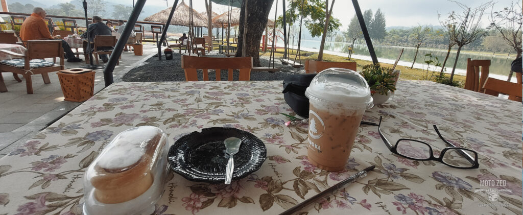
Once the sun emerged I had a fun time strolling around with my camera tripod, taking multiple photos and enjoying the quiet before more visitors arrived. I like to try to get to these places during unconventional hours because there is more chance of beating the crowds. Later on before leaving I also met a lovely group of Kimono-wearing Thai ladies who were visiting from Bangkok. I took the opportunity to get a photo with them.
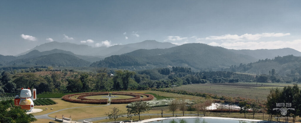
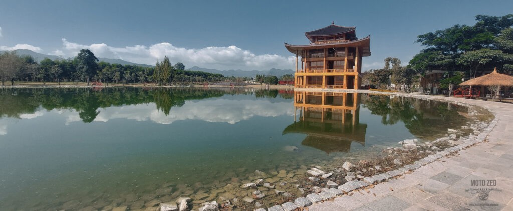
| 
|
| 
|
| 
|
| 
|
** I realise there is controversy surrounding #CulturalAppropriation versus #CulturalAppreciation when it comes to cultural dress. From my research and information about the Japanese perspective regarding wearing Kimono, there seems to be no issue (and in fact, wearing them is encouraged and appreciated, due to it having been a dying tradition).
After spending several hours messing about and enjoying a little Japan flavour in Hinoki Land I got changed back into my motorcycle gear and headed for Doi Ang Khang, Thailand’s 15th highest mountain peak at around 1928 meters high. This means riding the fantastic R1249!
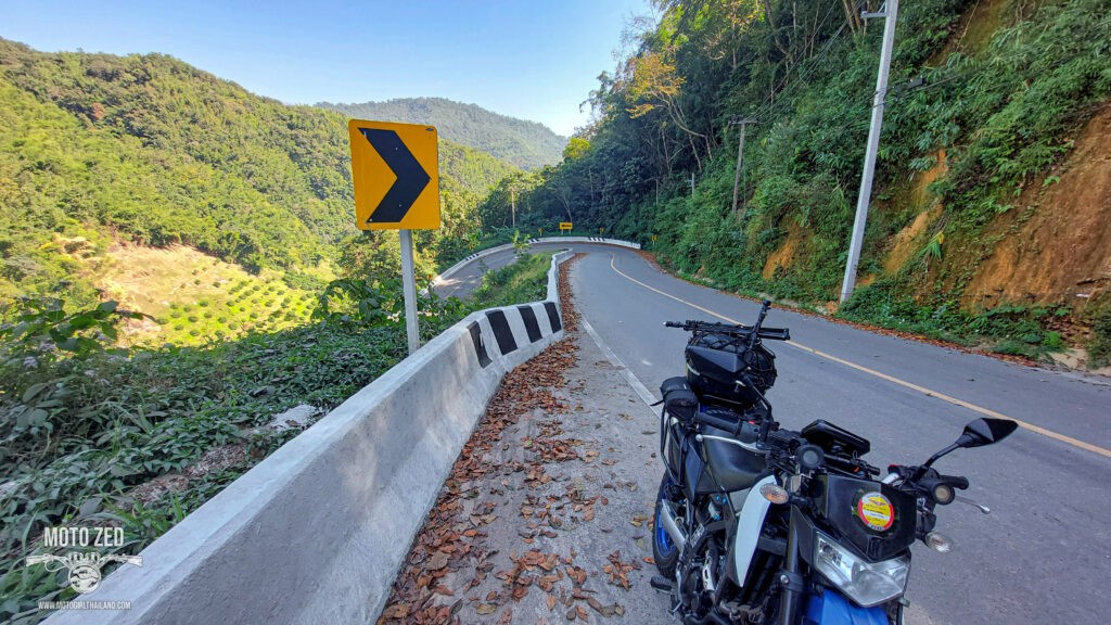
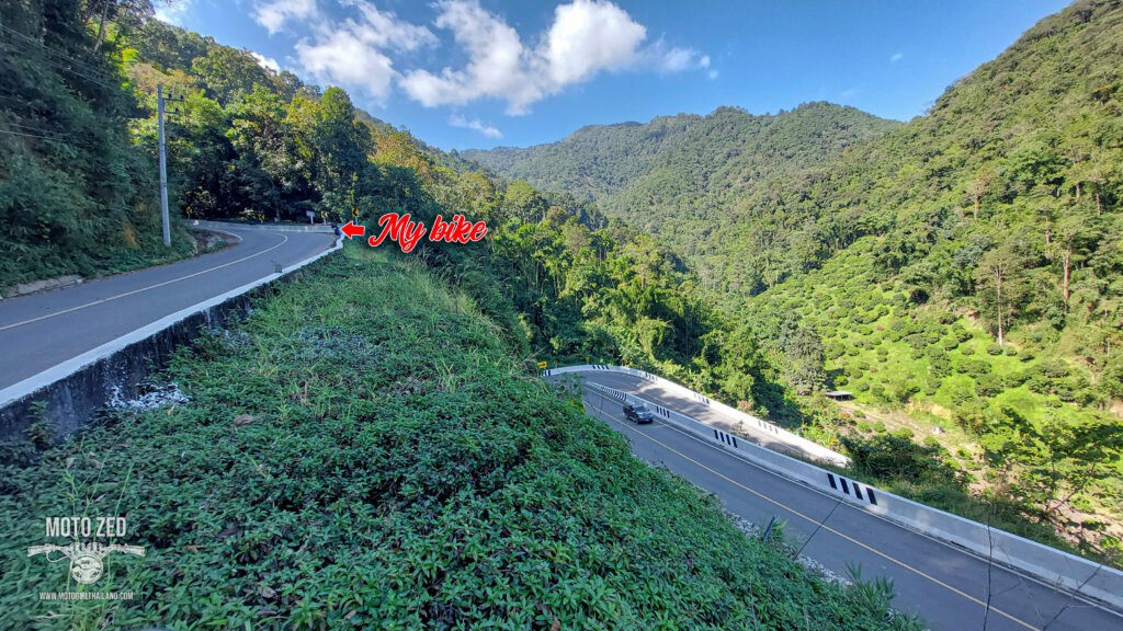
The R1249
The R1249s, with its notoriously dangerous steep sharp bends, has seen a fair few incidents. The route has undergone multiple repairs on regular occasions, with the longest recent repair taking 9 months. At this current time the road condition is great, but you certainly will want to have good working brakes! I first rode this route in 2010 on my Yamaha Fino 115cc automatic scooter. I remember practically slowing down to a crawl on the bike!
| 
|
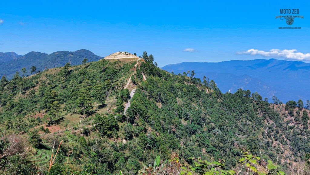
I continued up this fantastic road to the Royal Agricultural Station and Gardens and then later to the Thai/Myanmar border checkpoint at Ban Nor-Lae. I knew (like on the previous times I have tried) I would not be permitted to cross at this border point, but as it’s an interesting ride to the checkpoint I always check intermittently. Many years ago the checkpoint was open and you could ride the route, but some years back there were reports of bandits, insurgents and issues along the route, so it was shut down for the general public.
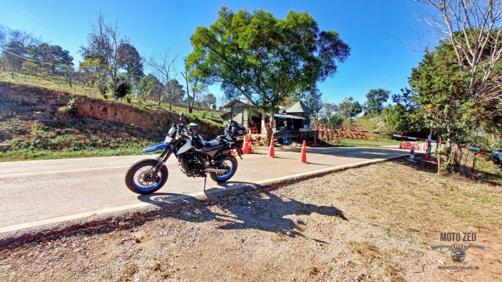
| 
|
At the Royal Agricultural Station I had brain fog and for some reason entered into the Royal Project Gardens via the exit sign. I was riding along for a little while before it dawned on me that I am riding down the wrong direction in gardens I am supposed to pay an entry fee for. Haha. Oops! I might sort that video footage out and add it later.
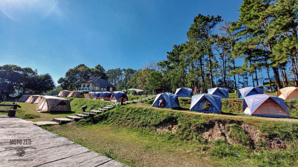
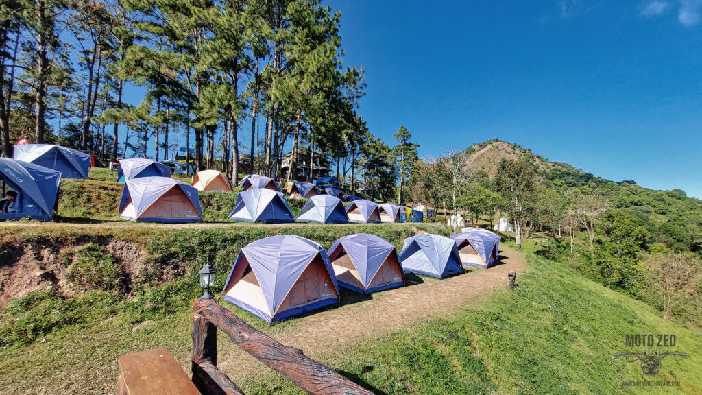
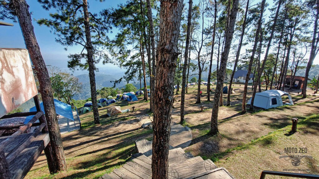
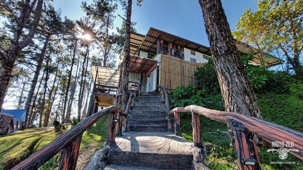
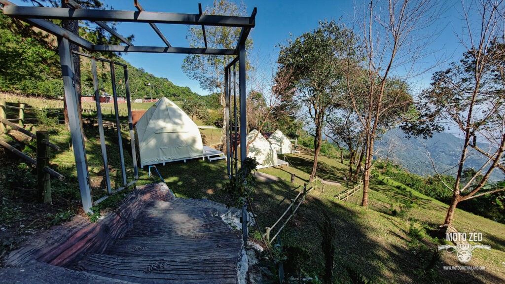
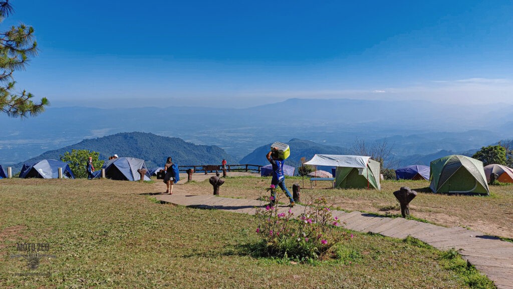
After coming back out of the Royal Project Gardens I headed back on myself and up to the Doi Ang Khang viewpoint camping area.
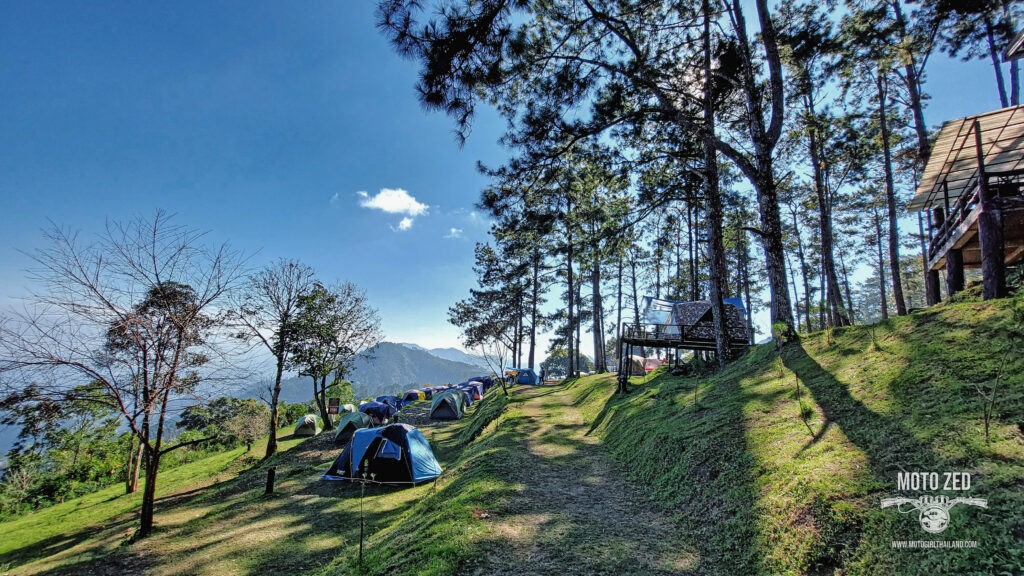
| 
|
| 
|
| 
|
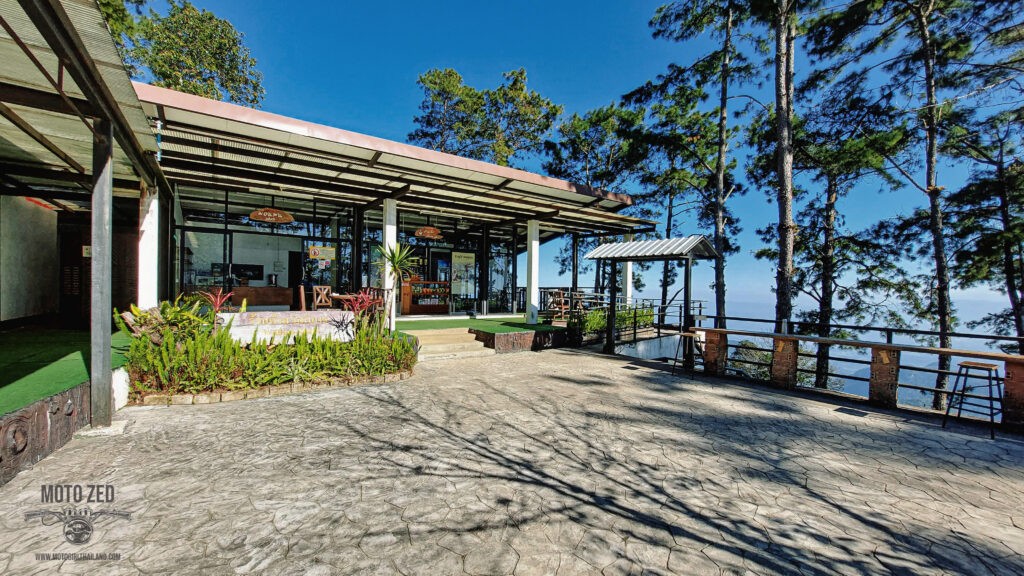
| 
|
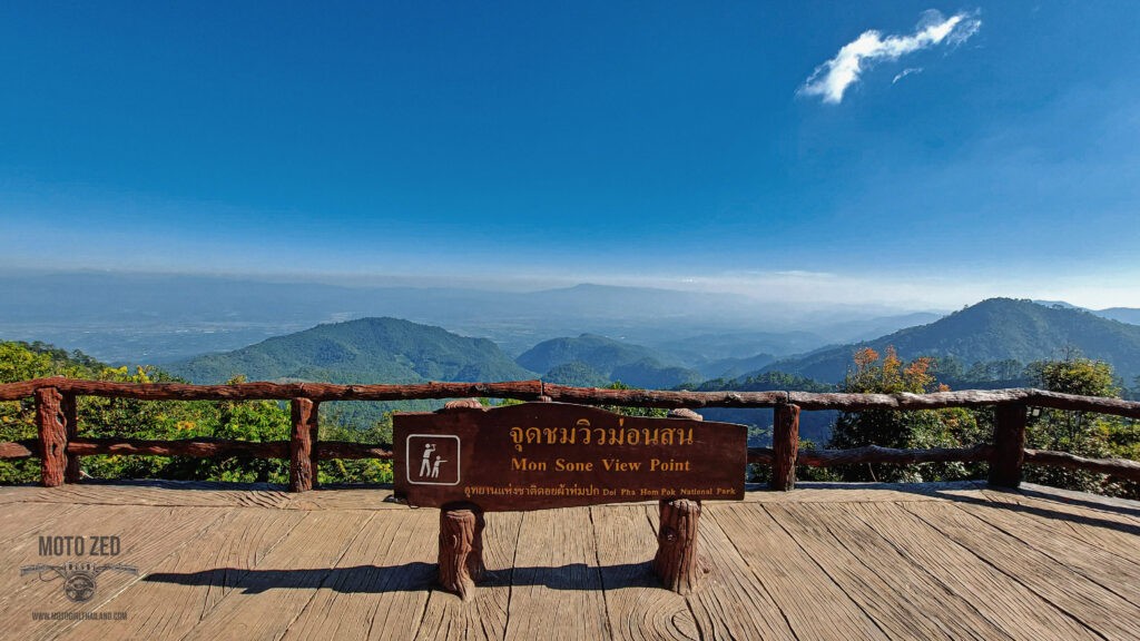
This viewpoint was once just a little wooden platform on stilts sitting on Army land. I have a photo from back in 2010 standing on the deck area.
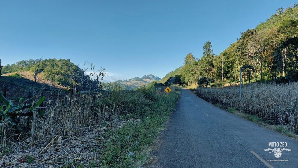
After relaxing at the camping area for a while I took a long way back by heading south on the R1340 border route, which would take me through many interesting rural villages. Aside from the occasional farming vehicles (piled up high with goods, almost in a cartoon comical kind of way), there was pretty much no one else on the route, and the roads were in surprisingly great conditions.
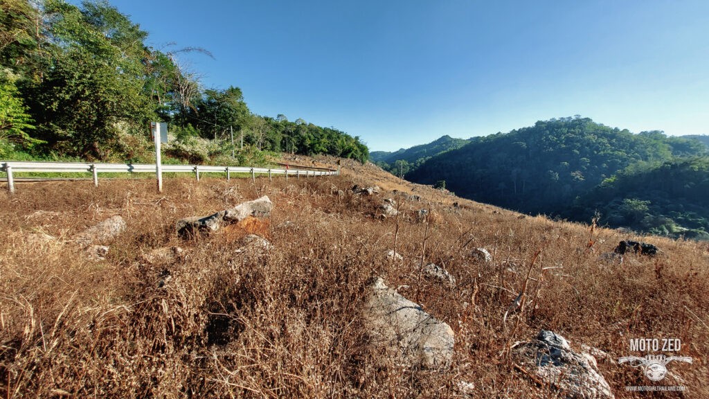
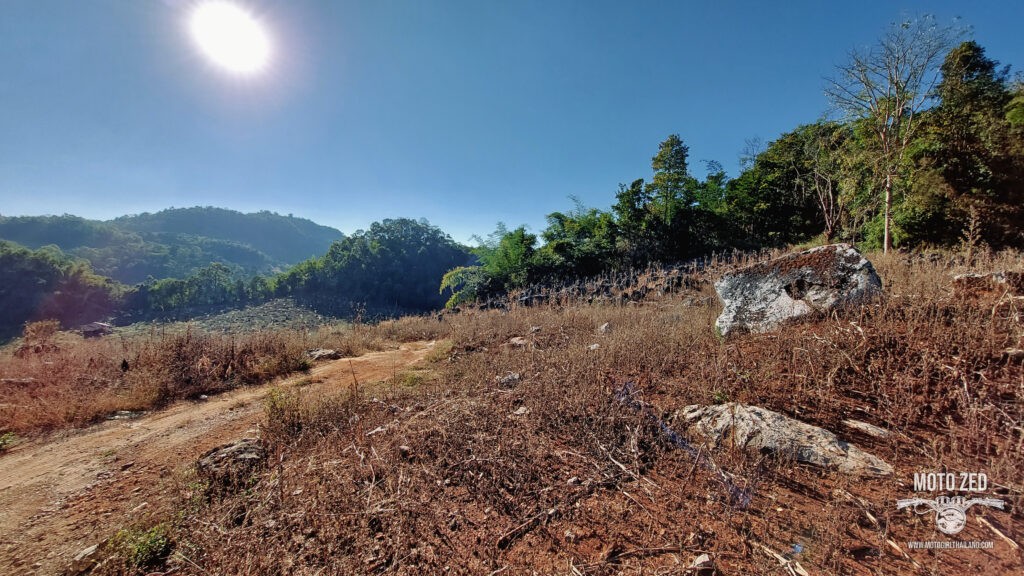
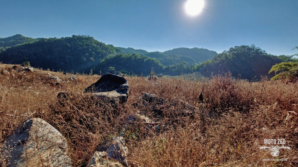
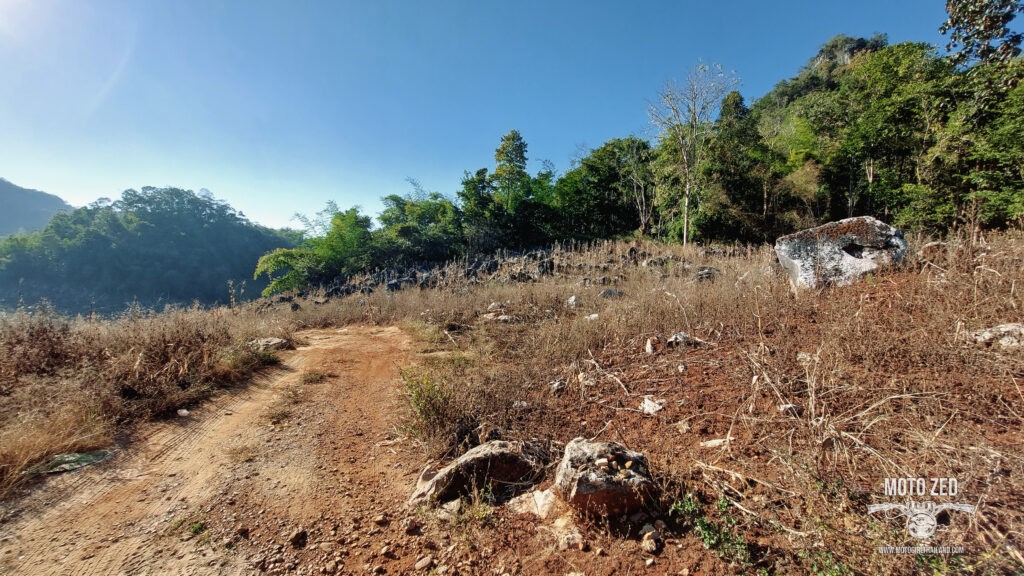
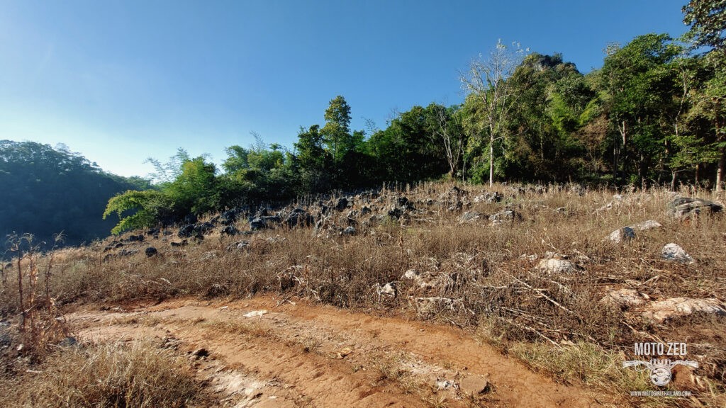
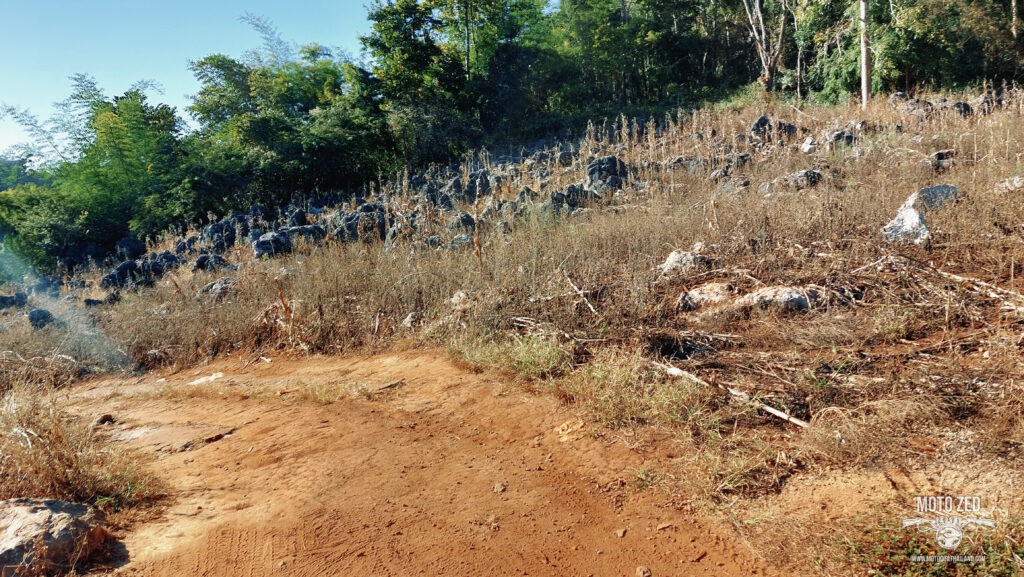
I pulled over at one point to check out some interesting rocks (yes, for some reason I do find rocks interesting). This whole area was recently burned, revealing the oddly shaped rocks, resulting in an eerie barren landscape. At first I thought there might be a Hot Spring close by, but I couldn’t see (or smell) one.
| 
|
| 
|
| 
|
The road was very peaceful and scenic for most of the ride and I passed through many interesting villages adorned with Chinese motifs and signage. It didn’t feel like I was riding in Thailand at all.
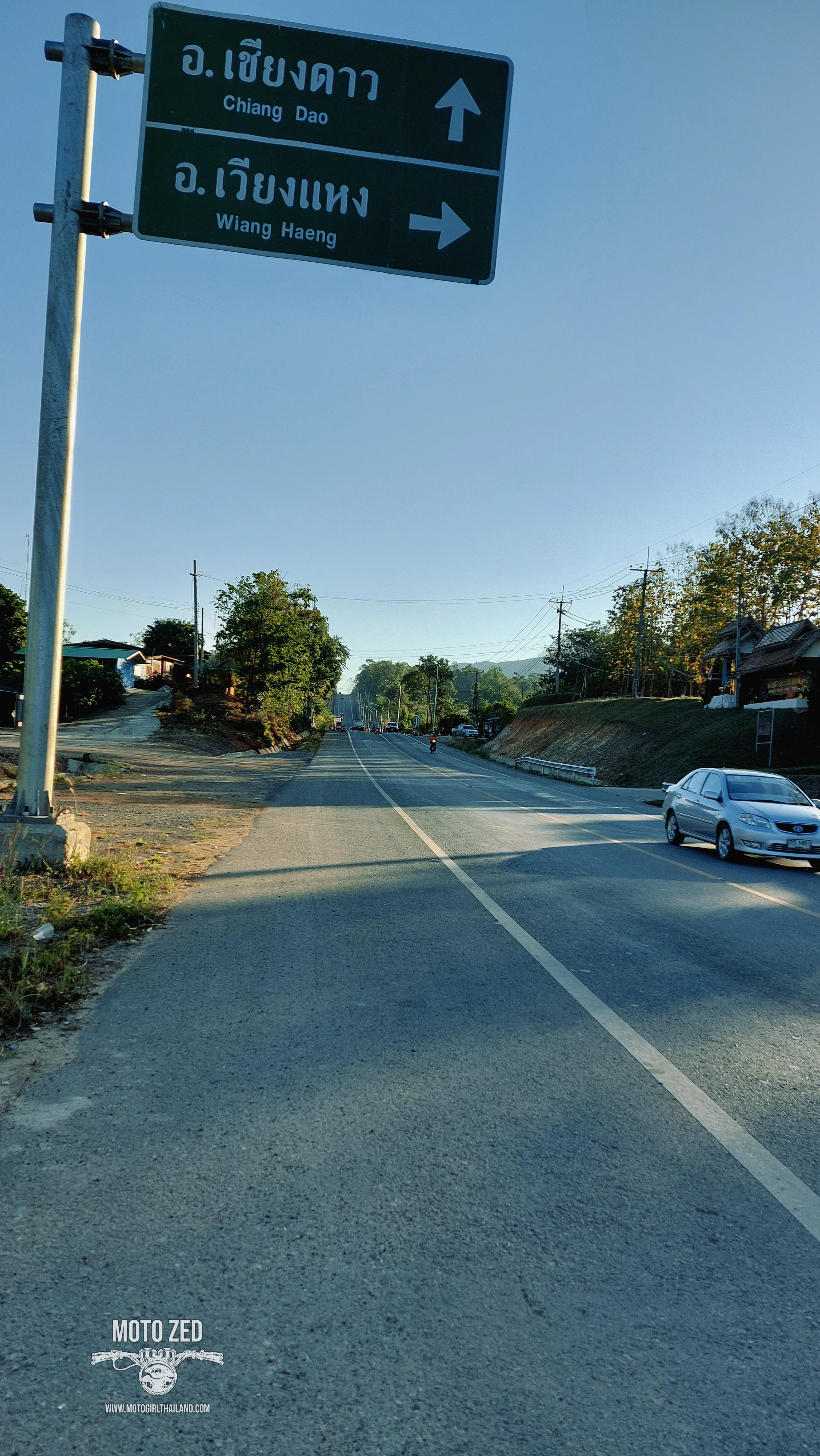
At the Wiang Haeng turn off, the road took on an interesting perspective.
| 
| 
|
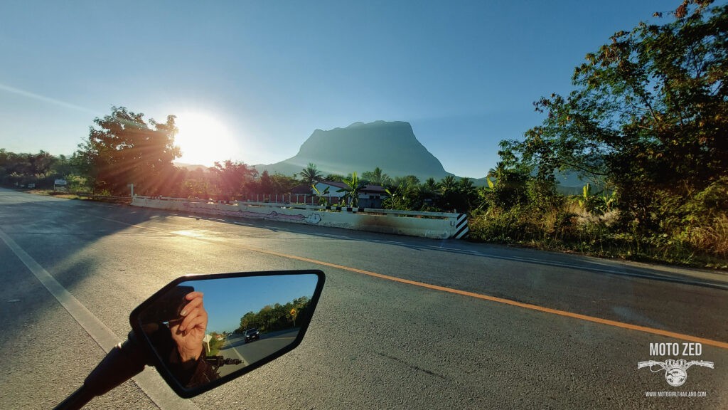
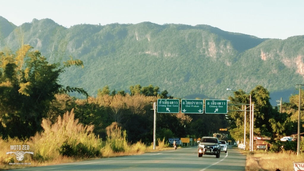
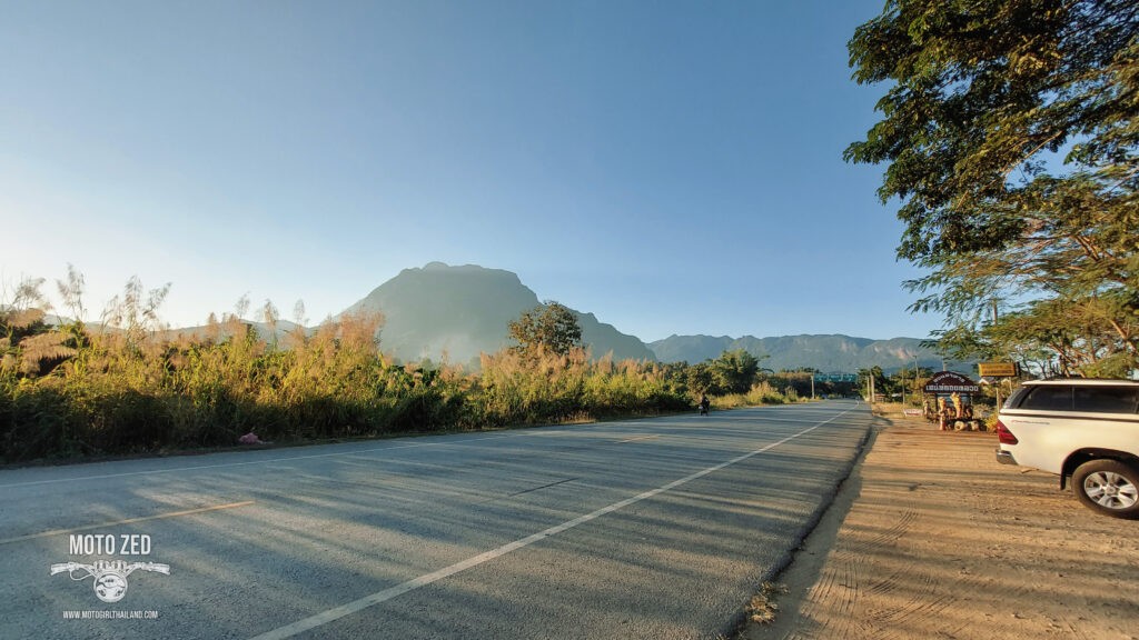
By this time (around 5 pm) the sun was beginning to set, which is actually when I really love the view of Chiang Dao mountain. This soft golden light makes the mountain and nature around it a visual delight.
| 
|
| 
|
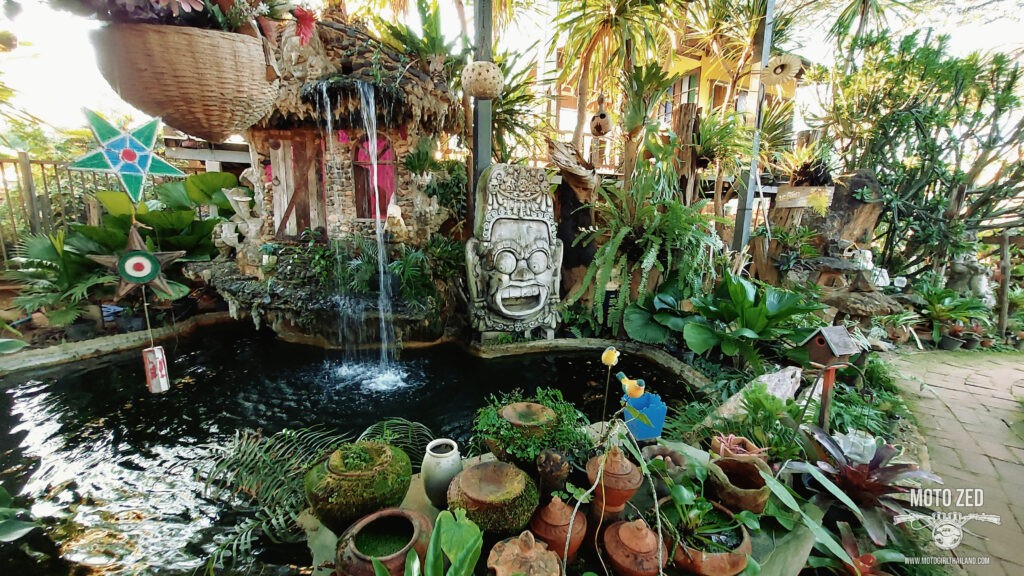
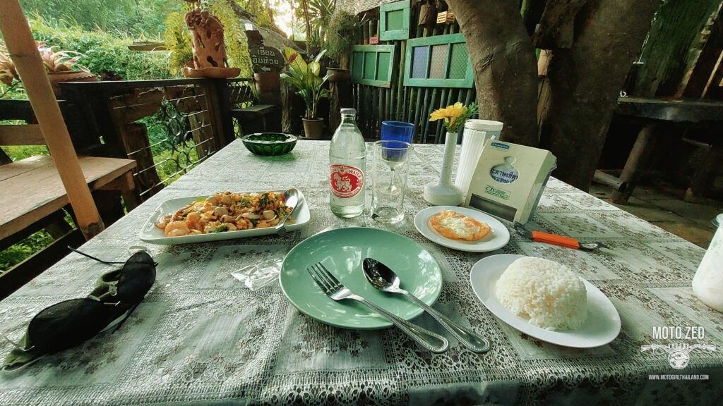
| 
|
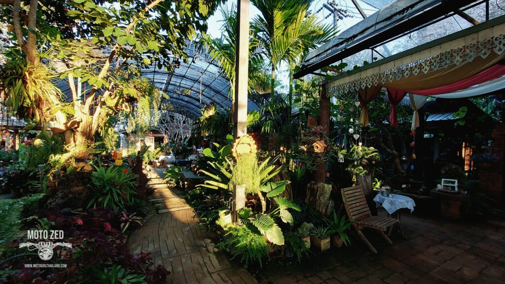
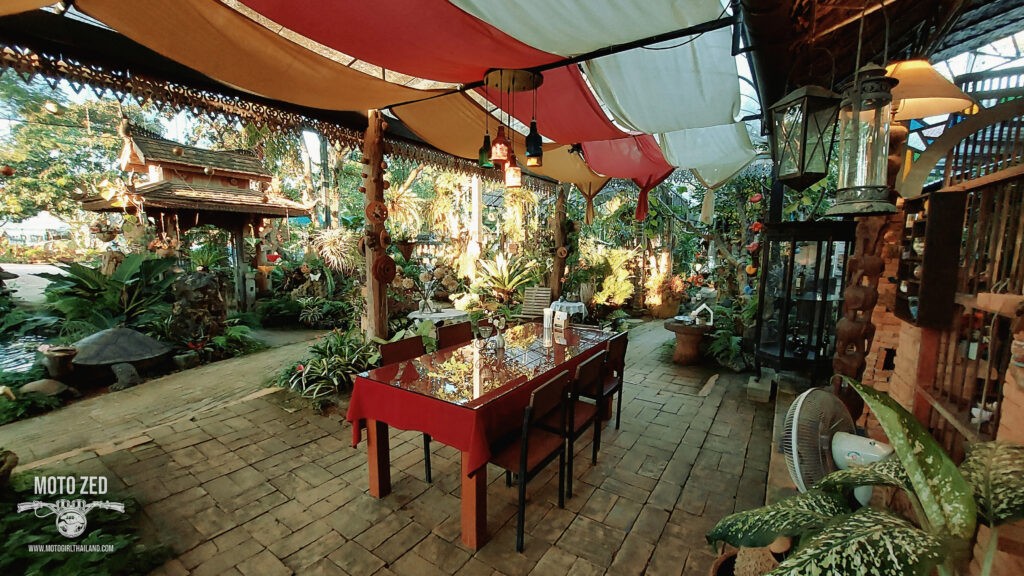
After filling my belly I rode the last 70 km back to Chiang Mai. The light faded fast, so most of the ride home was in the dark, but it was nice to initially ride as the sun was setting, creating shadows and casting sunbeams over the road.
Hope you enjoyed this trip report


